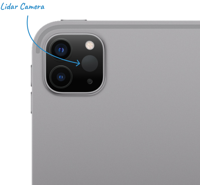
LiDAR Scanning
Capture accurate 3D model and 2D floor plan with dimensions in minutes along with a measuring tool.

Streamline Property Damage Inspection with Mapperty
With LiDAR functionality of Mapperty, inspector can scan the entire floor and will get a preview of the 3D model & 2D floor plan with dimensions along with a measuring tool. Get precise measurement and visualization of property damages.

How it helps
Capture accurate 3D model and 2D floor plan with dimensions in minutes along with a measuring tool.
Accurate
Documentation
Documentation
Mapperty's Lidar functionality offers precise measurement and detailed 3D mapping capabilities, ensuring accurate documentation of property damages.
Efficient Time
Management
Management
By replacing the traditional manual process with a smart and efficient one, enabling adjusters to complete the claim process in a minimum time.
Enhanced
Visualization
Visualization
With Mapperty's enhanced features, adjusters can efficiently inspect properties, document damages, collect relevant information, sketch floor plans, and generate detailed reports. This comprehensive toolkit provides adjusters with a better visualization of the damaged property
